


| Distance (km) | Ascent (metres) | Number of days | |
|---|---|---|---|
| 187 | 1865 | 8 - 10 | |
| Start: Kincardine-on-Forth | Finish: Newburgh | ||
Books
Below we list printed maps and/or guidebooks in ascending order of cover price: click image or title for more info. To add or alter any items in this list, please Contact us.
Route type and direction
Linear. The preferred direction is to start from Kincardine-on-Forth, to put the prevailing wind at your back for the greater part of this anti-clockwise circuit around the Fife peninsula (although inevitably a couple of the later sections head easterly).
Overview
Starting from the Firth of Forth and ending on the Firth of Tay, the route offers a wide range of terrain from level paths to wild and demanding rocky beaches. It passes through the former coal mining towns of central Fife and the cosmopolitan university city of St Andrews. The small fishing villages and harbours of Fife’s East Neuk contrast with the industrial areas of the west. The scenery includes award-winning sandy beaches, nationally important estuaries and wildlife reserves, farmland and woodland. For the adventurous, there is the option of the Elie Chainwalk, Scotland’s secret via ferrata.
Highlights
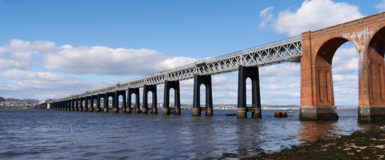
- the three iconic bridges which span the River Forth
- historic village of Culross
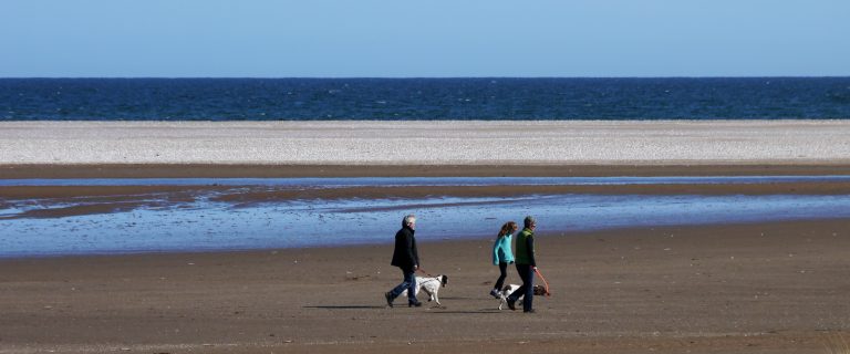
- 15 major award-winning beaches and many smaller beaches
- fishing villages of Fife’s East Neuk (corner)
- Eden Estuary Nature Reserve and Tentsmuir beach and forest
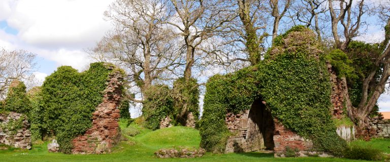
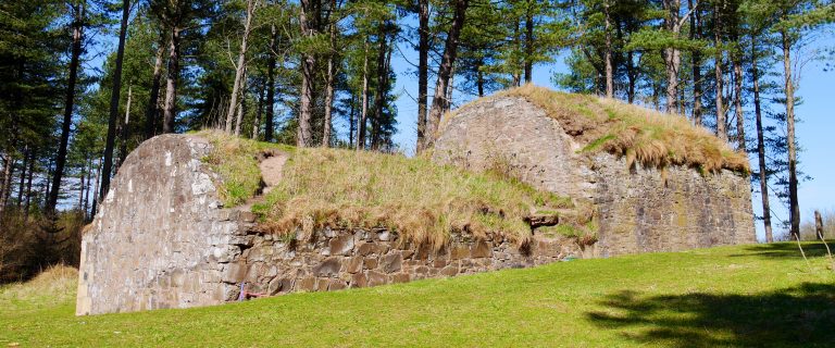
- castles, windmills, lighthouses, churches and abbeys
Be aware
- difficult to reach the Path between Balmerino and Newburgh by public transport
- some sections of the path are only available at low tide: take care to check local tide times
- care needed when walking near golf courses: keep to the path, avoid greens and fairways and avoid distracting players
The challenge
The route can be walked in 8-10 sections which vary in length, gradient and the going underfoot. It is clearly and consistently waymarked throughout, so map-and-compass skills are not essential. This is a good first choice for your first long walk, but you are advised to allow ten days if tackling the entire route. When first opened, the route ran from North Queensferry (at the Forth bridges) to Newport-on-Tay (at the Tay Road Bridge) and was only 81 miles/131 km long. Some holiday companies still offer this original bridge-to-bridge route because their clients find it easier to fit in. The Kincardine start involves a 16.8-mile (27-km) first section to North Queensferry, and the extension to Newburgh makes for an 18.3-mile (29.5-km) final section.
Accommodation
Accommodation is plentiful in all locations except for the section from Balmerino to Newburgh, but you are recommended to book early.
Wild camping is legally allowed in Scotland if practised responsibly under the Scottish Outdoor Access Code.
Support services
Visit this page of the official website for links to transport, tide times, weather and public toilets. A range of support services is available from several companies:
Public transport
The entire route from Kincardine as far as Newport-on-Tay is well served by public transport, and the section between Kincardine and Kirkcaldy is served by mainline railway.
For details, visit Traveline Scotland, or, for the entire UK, Traveline. For travel from anywhere to anywhere, try Rome2Rio.